
Introduction: Map of ancient Egypt
Map of ancient Egypt is a window into a civilization that flourished along the banks of the Nile River thousands of years ago. In this Map of ancient Egypt we will embark on a journey through the map of ancient Egypt, exploring its geography, cities, landmarks, and the historical significance of different regions. Map of Ancient Egypt By delving into the intricacies of this ancient land, we can gain a deeper understanding of the remarkable achievements and cultural legacy of the people who once called it home Map of ancient Egypt.
Table of Contents: Map of ancient Egypt
- The Nile River: Lifeblood of Ancient Egypt
- Lower Egypt: Delta and the Mediterranean Coast
- Upper Egypt: Pharaohs and Temples
- Thebes: City of Monuments and Splendor
- Memphis: Capital of Ancient Egypt
- The Eastern Desert: Oasis and Trade Routes
- Nubia: Egypt’s Southern Neighbor
- The Nile River: Lifeblood of Ancient Egypt:
1.The Nile River: Lifeblood of Ancient Egypt
The Nile River, stretching from south to north, played a pivotal role in ancient Egyptian life. On the map, it can be seen as a lifeline that provided fertile soil for agriculture and facilitated transportation and trade. The river was divided into two regions: Upper Egypt in the south and Lower Egypt in the north, which eventually unified to form one kingdom.
- Lower Egypt: Delta and the Mediterranean Coast:
Located in the northern part of the map, Lower Egypt encompassed the Nile Delta, where the river branches out into multiple distributaries before flowing into the Mediterranean Sea. Cities such as Alexandria and Rosetta thrived in this region, serving as important centers of trade and cultural exchange.
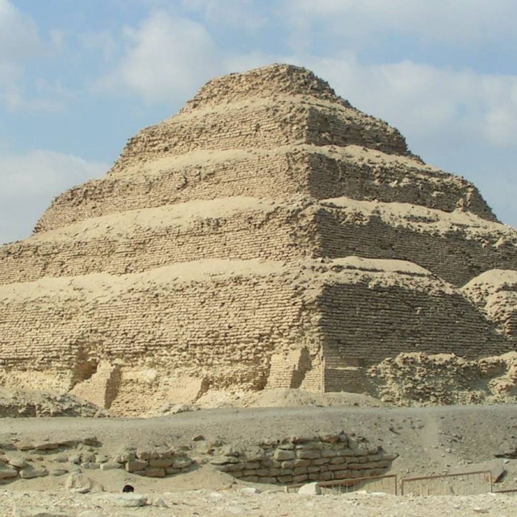
- Upper Egypt: Pharaohs and Temples:
The southern part of the map, known as Upper Egypt, was considered the sacred land of the pharaohs. It was here that magnificent temples and tombs were constructed, including the iconic temples of Luxor and Karnak. The city of Thebes (modern-day Luxor) served as the religious and political capital of ancient Egypt for many centuries.
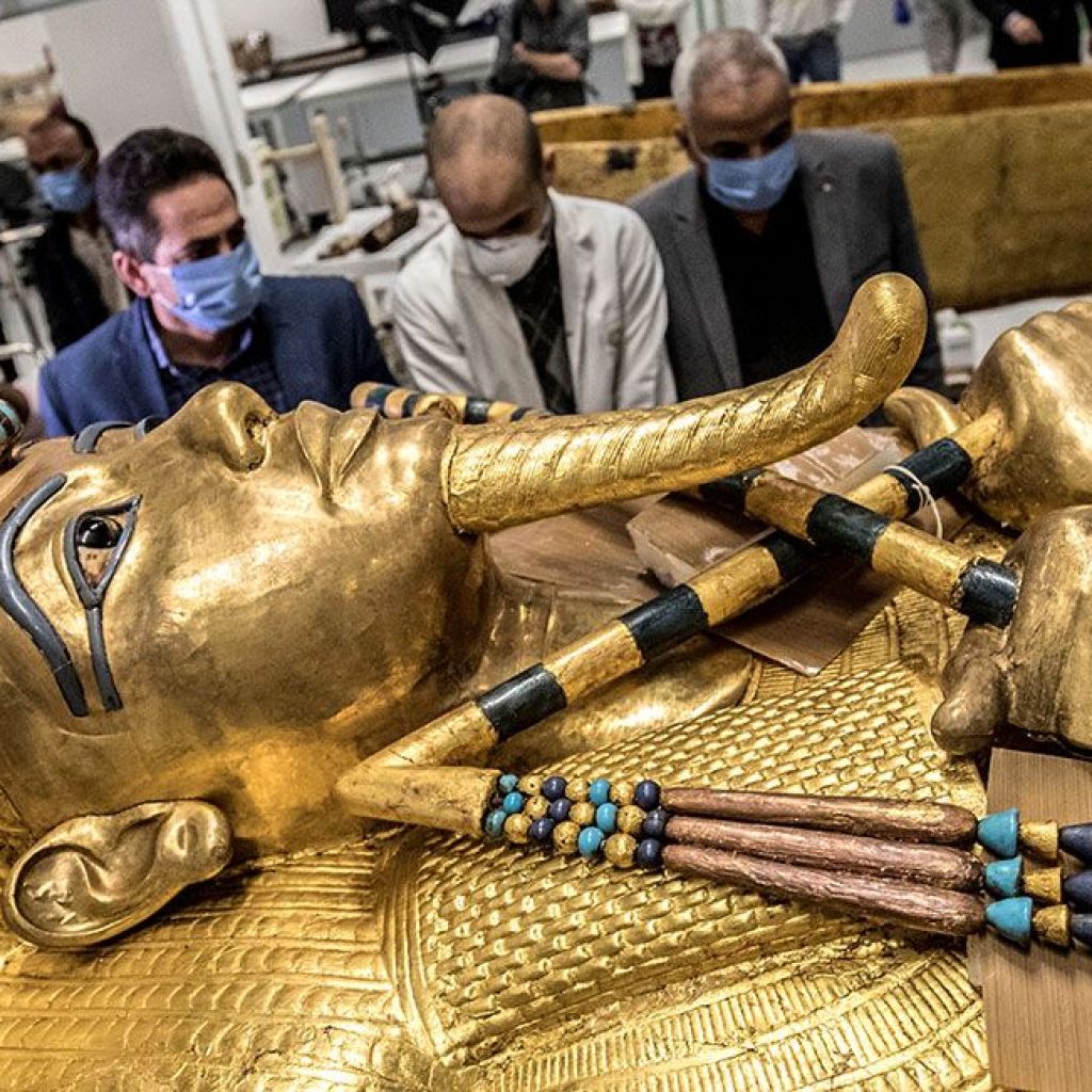
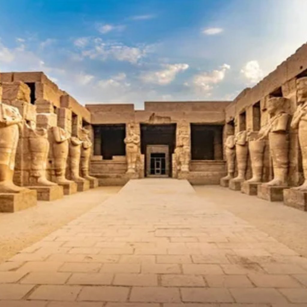
- Thebes: City of Monuments and Splendor:
Thebes, located on the eastern bank of the Nile, was a city of unparalleled grandeur. Its vast temple complexes, such as the Temple of Hatshepsut and the Valley of the Kings, mesmerize visitors to this day. The map reveals the layout of Thebes, with its temples, palaces, and the sprawling necropolis that housed the tombs of pharaohs and nobles.
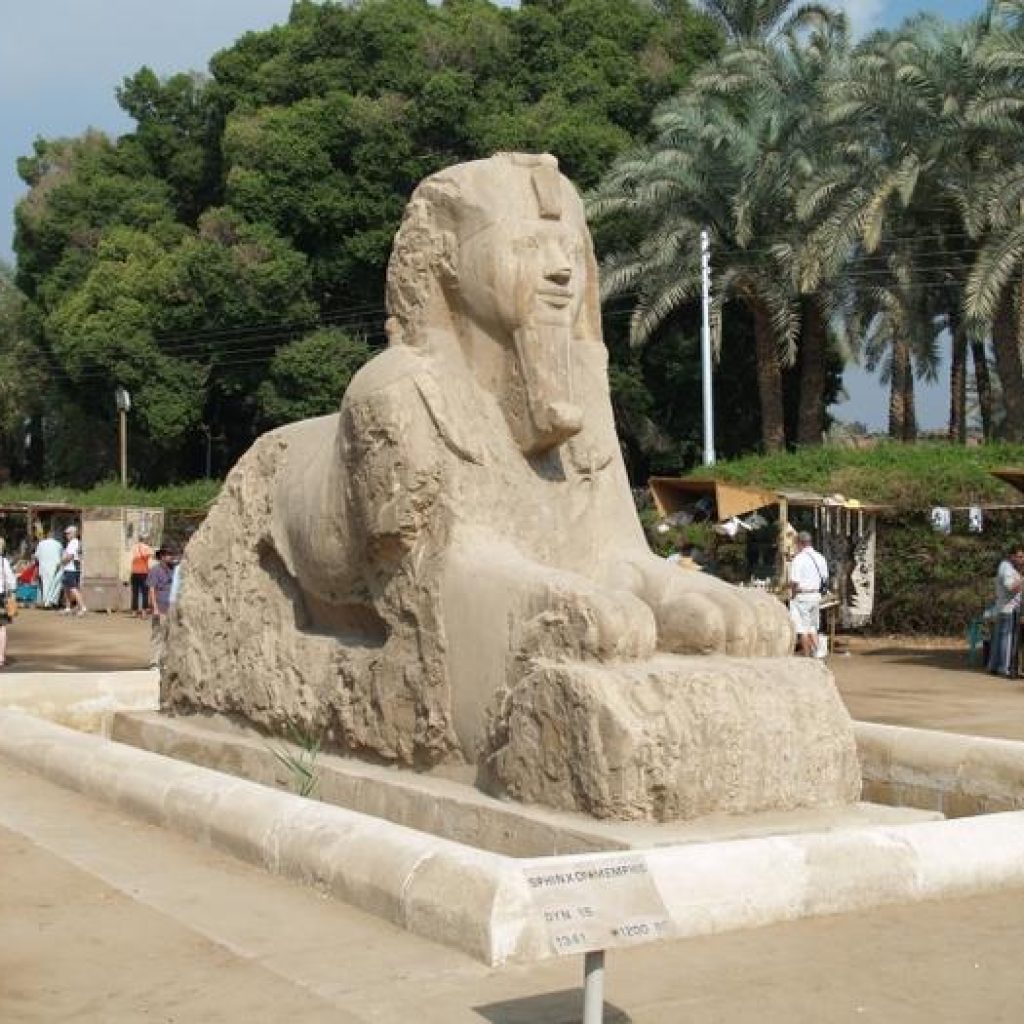
- Memphis: Capital of Ancient Egypt:
Situated near the Nile River in northern Egypt, Memphis was the capital of ancient Egypt for over 3,000 years. The city was a political and administrative center, housing royal palaces, temples, and colossal statues. The map depicts the layout of Memphis, showcasing its strategic location and the grandeur of its architectural wonders.
- The Eastern Desert: Oasis and Trade Routes:
To the east of the Nile River, the map reveals the vast expanse of the Eastern Desert. This arid region was home to oases, such as the Kharga and Dakhla oases, which provided crucial water sources along the trade routes connecting ancient Egypt with neighboring regions. The map highlights these trade routes, showcasing the importance of the Eastern Desert in facilitating commerce and cultural exchange.
- Nubia: Egypt’s Southern Neighbor:
South of ancient Egypt, the map extends into the land of Nubia. This region, which encompassed parts of modern-day Sudan, had a rich cultural heritage and often interacted with ancient Egypt through trade and occasional conflicts. The map showcases the Nile’s course through Nubia, highlighting key cities and landmarks that played a role in the historical relationship between the two lands.
Conclusion: Map of ancient Egypt
The map of ancient Egypt offers a glimpse into a civilization that left an indelible mark on human history. It reveals the geographical features, cities, and landmarks that defined this remarkable land of pharaohs. By exploring the map, we gain insights into the interconnectedness of ancient Egyptian society, the importance of the Nile River, and the enduring legacy of a civilization that continues to captivate the world.
FAQs: Map of ancient Egypt
- Q: How did the Nile River influence ancient Egyptian civilization?
A: The Nile River provided fertile soil for agriculture, facilitated transportation and trade, and served as a source of water for daily life. It played a central role in the development and sustenance of ancient Egypt. - Q: Were there any major cities in ancient Egypt besides Thebes and Memphis?
A: Yes, besides Thebes and Memphis, other significant cities included Alexandria, Rosetta, Abydos, Amarna, and Heliopolis. These cities were centers of administration, trade, and religious worship. - Q: What is the significance of the Valley of the Kings?
A: The Valley of the Kings is a burial ground for pharaohs and nobles of the New Kingdomperiod. It is renowned for its elaborate tombs, including that of Tutankhamun. The valley holds great archaeological and historical importance. - Q: How did ancient Egyptians navigate the Eastern Desert?
A: Ancient Egyptians navigated the Eastern Desert by utilizing oases as rest stops along trade routes. They would travel from oasis to oasis, ensuring a reliable water supply and facilitating trade with neighboring regions. - Q: What was the relationship between ancient Egypt and Nubia?
A: Ancient Egypt and Nubia had a complex relationship that involved trade, cultural exchange, and occasional conflicts. Nubia was an important source of luxury goods, such as gold and exotic animals, for ancient Egypt. - Q: Are there any surviving ancient maps of Egypt?
A: While no complete ancient maps of Egypt have been found, there are fragments and representations on temple walls that provide insights into ancient Egyptian geographical knowledge. - Q: How has the map of ancient Egypt influenced modern understanding of the civilization?
A: The map of ancient Egypt has helped archaeologists and historians trace the development of ancient Egyptian civilization, understand its geographical context, and uncover the connections between different cities and regions.
In conclusion, the map of ancient Egypt serves as a valuable tool to explore and understand the geography, cities, and historical significance of this captivating civilization. It sheds light on the Nile River’s crucial role, the grandeur of cities like Thebes and Memphis, and the cultural interactions with neighboring regions. By studying this map, we unravel the mysteries of ancient Egypt and appreciate the enduring legacy left behind by its remarkable people.


Comment (0)